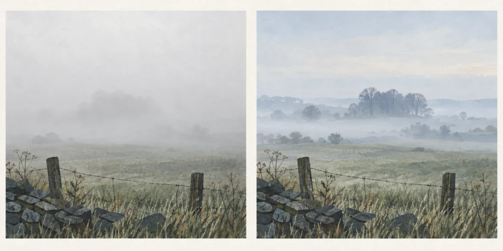
Fog and mist both contain tiny water droplets suspended near the ground. In the general meteorological distinction, fog reduces visibility below 1,000 metres; mist is less obscuring.
Fog and mist are both tiny water droplets suspended in air near the ground. The main distinction is how much they obscure the view: in the general meteorological definition, fog reduces visibility to less than 1,000 metres; mist allows a longer view. Public forecasts can use “fog” more narrowly, so the context matters. [1]
A technical definition and a public forecast serve different purposes. The general threshold is below 1 km, but the public-forecast explanation uses “fog” generally for visibility below 180 m. An 800 m droplet-caused observation can therefore meet the broad fog definition without guaranteeing that every public forecast will use the same word. [1]
When reading a report, retain the number, unit and context together. “800 m visibility” is more precise than silently converting one person’s “misty” into a technical category. None of these naming thresholds is a substitute for a separate rule governing an activity.
What visibility actually measures
For a visual observation, spotting an indistinct patch is not enough: the distant object should be recognisable against its background. The viewing direction also matters when conditions vary. This is why a landscape that looks washed out cannot, by appearance alone, supply a trustworthy distance. [2]
Automatic observing stations commonly use sensors. These measure an optical range from how light is reduced or scattered in air. The resulting figure is approximately equivalent to human contrast-based visibility, but it is not an identical test. A photograph adds further changes in exposure, contrast and viewpoint, so the cover illustration here is explanatory artwork rather than a measurement. [2]
A distance is more useful than a vague label
0.8 km = 800 m: below the general 1 km fog boundary.
1.5 km = 1,500 m: above that boundary, consistent with mist when droplets cause the obscuration.
Cause still matters: a short view does not establish droplets by itself.
These are invented observations, not current conditions. [1][3]
A worked UK forecast-reading example
Imagine an observation explicitly says water droplets limit visibility to 800 m. In general terminology it is fog. On a forecast table using the visibility index, 800 m falls under VP (Very Poor), which covers less than 1,000 m. [1][3]
A second droplet-caused observation of 1,500 m fits mist and the P (Poor) band of 1,001–4,000 m. The weather word identifies a phenomenon; the visibility code identifies a distance band. They provide related information without being interchangeable. [1][3]
If all you have is VP, do not add “fog” automatically. The code supplies a visibility range, not the physical cause. These examples deliberately avoid an exact 1,000 m reading: boundary handling belongs to the reporting system, rather than a guess between two labels.
Check three observation notes
Droplets reduce visibility to 800 m. Fog or mist in the general definition?
Fog: 800 m is 0.8 km, below 1 km. This does not dictate the wording of every public forecast. [1]
Droplets reduce visibility to 1,500 m. What does the forecast code add?
This fits mist in the broad comparison and P (Poor) in the stated visibility bands. The code gives a range rather than a new kind of water droplet. [1][3]
The only information is VP. Can you identify fog?
No. VP tells you visibility is below 1,000 m, but does not prove what caused the obscuration. [3]
Frequently asked questions
Is haze another word for mist?
No. In this distinction haze is suspended dry particles, whereas mist and fog involve water droplets. [1]
Does mist always disappear quickly?
A label is not a clearing-time forecast. Check the actual local forecast rather than inferring a duration from the word.
Sources
Source pages checked on 19 October 2026. The examples and self-checks were written for this article with AI assistance and checked against the listed material.
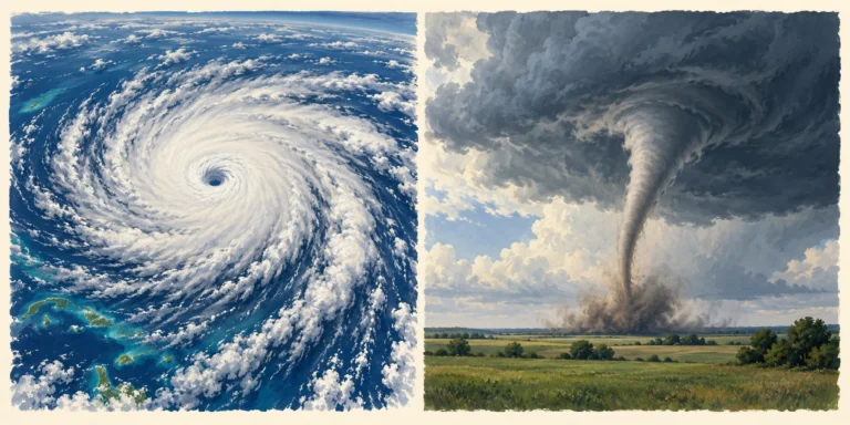
A hurricane is a large tropical cyclone that develops over warm seas; a tornado is a much smaller rotating column of air connecting a storm cloud to the ground.
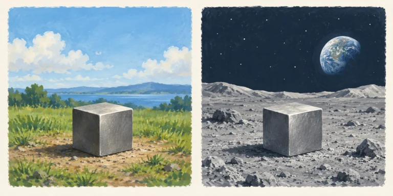
Mass is measured in kilograms; weight is a gravitational force measured in newtons. A 10 kg object keeps its mass on the Moon but has a much smaller weight.
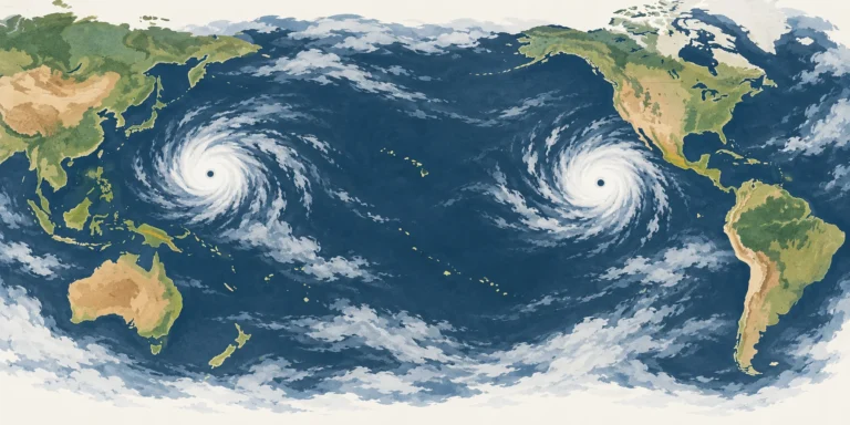
Hurricanes and typhoons are the same kind of tropical cyclone. The regional name changes: hurricane in the Atlantic and central/eastern North Pacific, typhoon in the north-west Pacific.