An ocean is the global connected seawater body or one of its major named regions. A sea is usually a smaller region partly enclosed by land, with exceptions.
An ocean is the connected global body of seawater, or one of its major named geographical regions, such as the Atlantic. A sea is usually a smaller region at the meeting of land and ocean, partly enclosed by land. This is a useful pattern rather than an absolute rule: the Sargasso Sea lies within the Atlantic and is bounded by currents instead of coastlines. [1][2][3]
A regional sea can exchange water with its surrounding ocean [2][4]
What the name does not establish
Not a promise of a particular depth or weather condition
Not proof that it is a closed lake or always surrounded by land
Original map-reading question
Which major ocean region does this label name?
Which more specific named region does this label identify?
One global ocean, several geographical names
A common modern convention names five ocean regions: Pacific, Atlantic, Indian, Arctic and Southern. Those names divide up a connected body of water for geographical description. They do not mean five separate containers with physical walls between them. [2]
This also explains why “ocean” can work at two scales. “The global ocean” refers to the whole connected system. “The Atlantic Ocean” identifies a major region within it. A question asking how many oceans there are therefore needs to say whether it means the global water body or the commonly named geographical divisions. [2]
Read the names at three scales
Global ocean: one connected body of seawater.
Major named region: for example, the Atlantic Ocean.
More specific sea: for example, the North Sea, exchanging water with the North Atlantic.
The steps show levels of description, not sealed boundaries or a scale drawing. [2][4]
The North Sea gives the comparison a British context
The North Sea is a useful local example of a named sea connected with a larger ocean system. North Atlantic water enters and mixes with river and land run-off in the Greater North Sea region. Its circulation includes water moving along the east coast of the UK and the continental western European coast. [4]
Calling it a sea does not make that water independent of the Atlantic. The regional name helps identify a particular place; the broader ocean name locates it within the connected system. The distinction is about the geographical description, not a boundary you would expect to see drawn across the water.
The Sargasso Sea tests the land-boundary shortcut
If you define every sea as “water partly surrounded by land”, the Sargasso Sea immediately causes a problem. It is entirely within the Atlantic and its boundaries are established by currents. Those boundaries are dynamic, rather than fixed coastlines. [3]
Keep the words usually and typically in the general definition. They preserve a useful pattern without forcing every named sea into the same shape. A geographical name and a simple classroom rule do not always fit together perfectly. [1][3]
A worked map-reading example
Imagine a worksheet labels the Atlantic Ocean and the North Sea in the same blue colour. If the question asks for a major named ocean, choose Atlantic Ocean. If it asks for a named sea associated with Britain, North Sea answers the more specific question. The matching blue does not make the two labels interchangeable, and different labels do not imply disconnected water. [2][4]
Now add the Sargasso Sea. A learner who says “it cannot be a sea because no land encloses it” has treated a typical feature as a requirement. The correct revision is to allow the documented current-bounded exception, not to erase the name. [3]
Check three geographical shortcuts
1. Does five named oceans mean five separate water bodies?
No. It is a common way to name major regions of the one connected global ocean. State which scale you mean when answering a counting question. [2]
2. Must a sea be partly enclosed by land?
That is the usual geographical pattern, but it is not universal. The Sargasso Sea is defined by currents within the Atlantic. [1][3]
3. Is the North Sea separate from the Atlantic water system?
No. North Atlantic water exchanges with the Greater North Sea region. The names describe different geographical scales within connected marine waters. [4]
Frequently asked questions
Can sea and ocean mean the same thing in ordinary speech?
They can be used broadly or interchangeably when speaking about seawater, but geographical questions often require the more precise distinction described here. [1]
Does the illustration show a real sea?
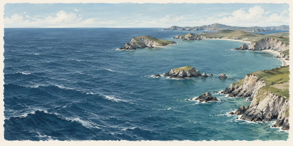
No. It is a conceptual coastal scene illustrating open water and partial land enclosure. It does not map the North Sea or Sargasso Sea, show their relative sizes, or establish that seas are always calmer than oceans.
Sources
Sources checked on 16 October 2026. The worked examples and exercises were written for this article.
AI tools assisted with drafting and the featured editorial illustration. The illustration is not a photograph, a measured diagram or evidence of an actual test.
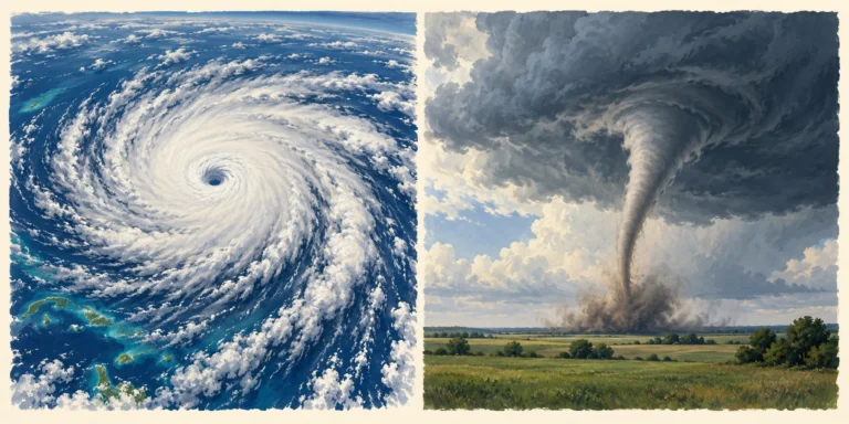
A hurricane is a large tropical cyclone that develops over warm seas; a tornado is a much smaller rotating column of air connecting a storm cloud to the ground.
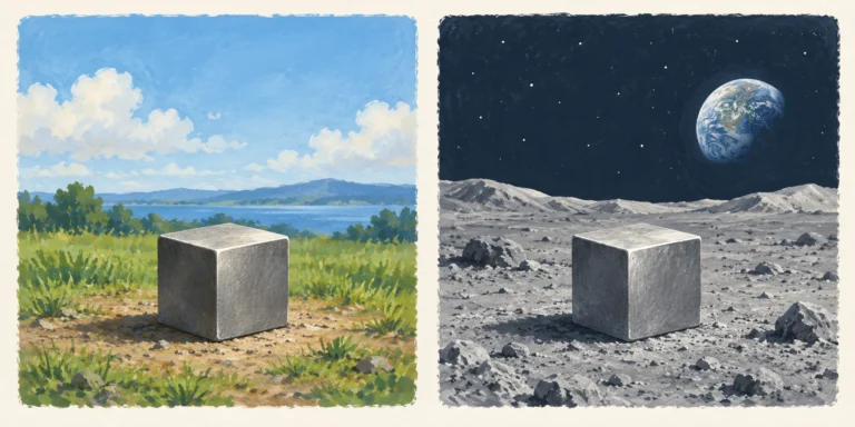
Mass is measured in kilograms; weight is a gravitational force measured in newtons. A 10 kg object keeps its mass on the Moon but has a much smaller weight.
Fog and mist both contain tiny water droplets suspended near the ground. In the general meteorological distinction, fog reduces visibility below 1,000 metres; mist is less obscuring.